Vindin GT-Series Auto Analysis 3D Mapping Geophysical Survey Detector
Vindin GT-Series Auto Analysis 3D Mapping Geophysical Survey Detector
Overview
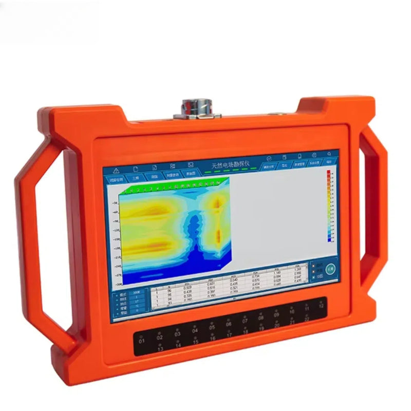
The GT Series 3D Mapping geophysical Detector is a portable, multi-channel instrument that delivers rapid subsurface insights with minimal setup. Combining automatic data acquisition, processing, and visualization, it transforms raw electrical field measurements into clear 2D and 3D maps—right in the field.
Core Benefits
-
All-in-One Automation: With one-click analysis, you get instant profile curves, contour maps, and 3D renderings without manual calibration.
-
High-Channel Precision: Up to 18 simultaneous frequency channels capture detailed underground signals, enhancing accuracy and reducing survey time.
-
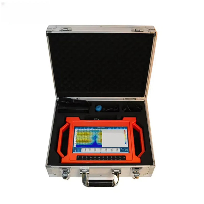
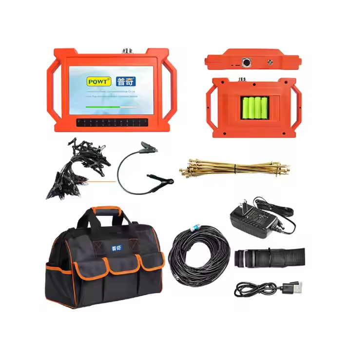
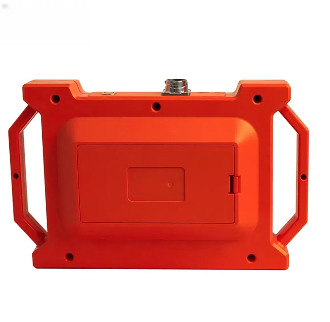
Field-Ready Design: A bright touchscreen display, rechargeable battery (8 h run time), and rugged construction (–20 °C to 50 °C) keep you productive in any environment.
Applications
Ideal for groundwater prospecting, geotechnical investigations, environmental assessments, and borehole planning, the GT Series streamlines decision-making by revealing aquifers, cavities, and geological structures on the spot.
Compact enough to carry between sites yet powerful enough for complex surveys, the -GT Series delivers turnkey subsurface mapping for hydrogeologists, engineers, and survey teams alike.
Product features
Product features
Materials and care
Materials and care
Merchandising tips
Merchandising tips
Share